
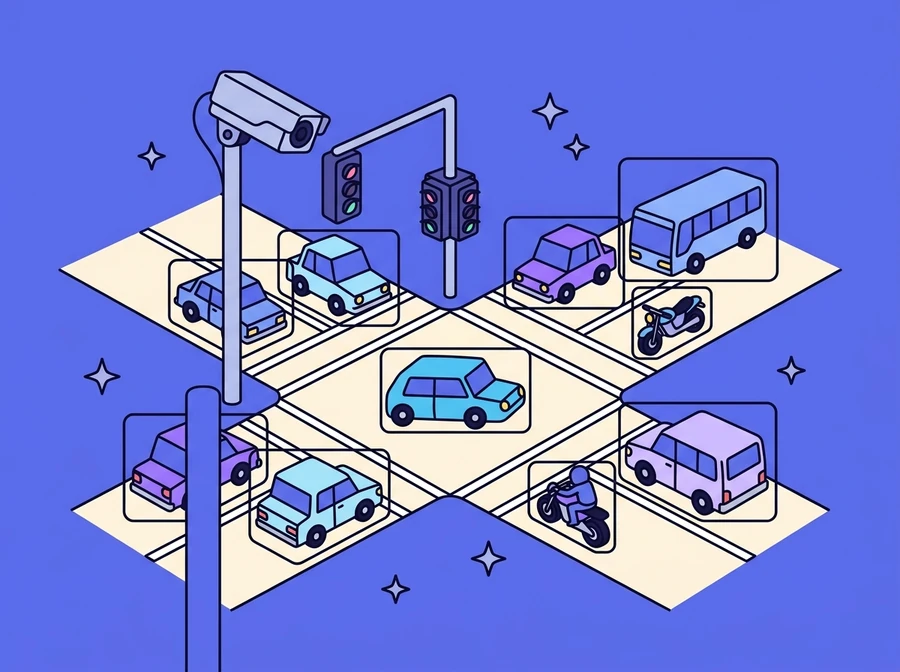
Most traffic lights still run to a preset timetable rather than to the number of vehicles in front of them. This system uses deep learning to read images from CCTV cameras on real roads, classifies traffic density into three levels in real time, and then passes the result on through LINE Notify or into a signal control system to lengthen or shorten the light phases to match the traffic actually on the road.
Who it is for
Local authorities and traffic network operators who need to make signal decisions from real road conditions rather than from a timetable set in advance.
It starts with real road data, not simulated data
The system pulls images from CCTV cameras installed on real roads through government open APIs, then processes them into a dataset for training the model. What matters is that the dataset covers every level of traffic, from an empty road through to heavy congestion, and covers both daytime and night-time lighting, because a model that has only ever seen daylight will be unusable at the hours when traffic is at its most critical.
- Pull images from CCTV cameras on real roads via government open APIs
- Build a dataset covering every level of traffic
- Include night-time images, not only daylight conditions
A deep learning model that can read how heavy the traffic is
A deep learning neural network is trained to detect and separate objects in the image vehicle by vehicle (cars, buses, motorcycles and pedestrians), with a confidence value attached to each detection. It then summarises the frame as one of three density levels: Low Traffic, Medium Traffic and Heavy Traffic, an output format that downstream systems can act on straight away.
- Detect and separate objects one by one: cars, buses, motorcycles, pedestrians
- A confidence value on every detection
- Classify density as Low / Medium / Heavy Traffic
Alerts straight away, and a path to controlling the lights
Once the model has produced a result from the live images, the system sends the information out to operators through LINE Notify, so they can see the situation without sitting in front of a screen. When ready, it can be extended to connect to a traffic signal management system and lengthen or shorten green phases automatically according to traffic conditions. The results are less congestion, less time spent on the road, less pollution from idling vehicles, and a base of real traffic data for the city's further Smart City work.
- Real-time analysis alerts through LINE Notify
- Extend to automatic signal timing based on traffic conditions
- Less congestion, less time on the road and less pollution
- A starting data base for Smart City work
What it does
- CCTV images pulled via government open APIs
- Detects cars, buses, motorcycles and pedestrians
- Three density levels: Low / Medium / Heavy
- Works in both daylight and night-time conditions
- Real-time alerts through LINE Notify
- Extends to automatic signal timing control

Want something like this?
Tell us your situation and we will work out what needs adapting to fit it.